Yorkshire Dales National Park
by Yorkshire Dales National Park Authority
Features Yorkshire Dales National Park
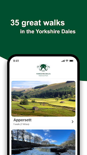
There are many different ways to access and enjoy walks in the Yorkshire Dales National Park and this app includes 35 of our favourites, developed with our National Park Rangers.
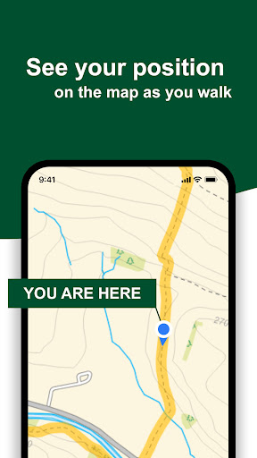
There are walks of differing lengths, created to suit all abilities and taking in stunning woodlands, peaceful riversides, the Dales’ iconic hills, limestone scenery and dramatic waterfalls.These GPS-enabled walks are located right across the National Park and include a number of accessible ‘Miles without Stiles’ routes.
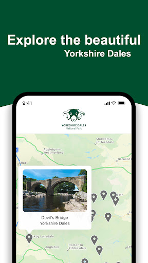
We’ve also included a handy key with each to help you decide which to do next, plus links to important information to help you plan your visit, and guidance on staying safe in the countryside.So all that’s left to do is to enjoy your walk, and remember to respect the land, respect the community, and respect each other.
Thank you!Please note: we make periodic checks of these routes, but cannot guarantee their condition or be held liable for your safety while walking the routes.Contains OS data © Crown copyright and database right 2020.Contains OpenStreetMap Data © OpenStreetMap contributors.https://www.openstreetmap.org/copyrightThis walking app was developed for the Yorkshire Dales National Park Authority by the team at Local Walks (www.localwalks.co.uk).
Fitness Tracking
Track your workouts and monitor your health metrics.
Travel Features
Plan and manage your travels with ease.
Food & Dining
Discover recipes and order food from your favorite restaurants.
See the Yorkshire Dales National Park in Action
Get the App Today
Available for Android 8.0 and above